
St. Clair ZIP Coverage Leads
The St. Clair County ZIP code directory uses postal leads found across official county, assessor, municipal, USPS, and Census sources. “Associated area” does not mean every delivery point is inside the county. Codes near Collinsville, Columbia, New Baden, Swansea, Troy, Waterloo, and the river edge need exact-address verification.
| ZIP | Areas covered | Postal lead | Notes |
|---|---|---|---|
| 62059, 62071 | Lovejoy, National Stock Yards | River and industrial area | Verify county and delivery address |
| 62201-62207 | East St. Louis | East St. Louis cluster | 62202 may be a PO-box style lead |
| 62208 | Fairview Heights | Municipal postal area | Check the exact boundary |
| 62220, 62221, 62223, 62226 | Belleville area | County-seat cluster | One city uses several codes |
| 62225 | Scott Air Force Base | Military postal geography | Validate the full address |
| 62232, 62239, 62240, 62243 | Caseyville, Dupo, East Carondelet, Freeburg | Municipal leads | Confirm each delivery point |
| 62254, 62255, 62257, 62258 | Lebanon, Lenzburg, Marissa, Mascoutah | Eastern county leads | Check county edges |
| 62260, 62264, 62269, 62271 | Millstadt, New Athens, O'Fallon, Shiloh | Municipal leads | Postal and city limits can differ |
| 62282, 62285, 62289 | St. Libory, Smithton, Summerfield | Southern and eastern leads | Verify exact address |
| 62234, 62236, 62265, 62293, 62294, 62298 | Cross-county communities | Overlap group | ZIP alone is not county proof |
The table stays conservative because no single county publication listed every ZIP serving exactly St. Clair County. Validate current delivery data with USPS and county placement with the assessor or GIS.
ZIP Codes Versus St. Clair
USPS ZIP Codes organize mail delivery. Census ZIP Code Tabulation Areas, called ZCTAs, approximate that geography for statistics. They are not the same thing. The Census ZIP and ZCTA guidance warns users not to treat the two as identical.
- ZIP Code
- A USPS delivery geography tied to mail routing.
- ZIP+4
- An added four digits that narrow delivery within the five-digit ZIP.
- ZCTA
- A Census statistical area built to approximate ZIP geography.
- PO-box ZIP
- A code or use focused on post-office boxes rather than ordinary street delivery.
- Carrier route
- A group of addresses served in a delivery route, not a civic boundary.
County and municipal lines follow law and mapped jurisdiction. Postal names follow delivery practice. One St. Clair municipality can use several ZIPs, while one ZIP can cross into another county. Record the source and date for each fact.
Belleville ZIP Code Directory
Belleville's main postal leads are 62220, 62221, 62223, and 62226. The public-building parcel at 10 Public Square offers a safe official example: the St. Clair County DEVNET card displays 62220 with its Belleville situs and mailing information. That proves how a ZIP appears on a parcel result, not that the assessor can search all parcels by ZIP.
The county seat sits within a dense grid of municipal, township, tax-district, and postal labels. A Belleville mailing address may need separate checks for incorporated place and township. DEVNET's card can show taxing bodies, parcel class, township, legal description, and mailing address. The county GIS adds parcels, incorporated places, address points, and street centerlines.
Use the ZIP code directory to choose the likely postal area. Then search the exact street address. When the task becomes a complete address chain, continue with the St. Clair County street directory rather than trying to infer street-level facts from a five-digit code.
East St. Louis ZIP Cluster
East St. Louis is associated with 62201 through 62207 in the research table. Nearby 62059 and 62071 lead toward Lovejoy or National Stock Yards and the river or industrial geography. These codes should be checked by full address because a postal city, incorporated boundary, and county line may not match.
The distinction matters in resident research. An old directory may file someone under East St. Louis, while a current postal result uses a preferred city name and a county parcel record uses a township or taxing district. Preserve each label with its source instead of selecting one as the universal place name.
For a current address, begin with USPS delivery validation. Confirm county placement in St. Clair GIS or DEVNET. For older people, use the city directory, county gazetteer, municipal records, and historic post-office clues. Modern ZIP Codes should never be backfilled into nineteenth-century records.
Note: River and industrial addresses deserve a full-address check because a company, postal facility, parcel, and resident address are different facts.
Validate a St. Clair ZIP
The USPS ZIP Code Lookup supports three useful modes: find by street address, find by city and state, and find cities by ZIP. The address mode accepts an optional company plus required street, city, and state fields. A live result may show a preferred city, five-digit ZIP, ZIP+4, route detail, or a failure to match.
| Mode | Field | Required | Use |
|---|---|---|---|
| By address | Company | No | Optional organization name |
| By address | Street address | Yes | Delivery location |
| By address | City and state | Yes | Postal place supplied by user |
| By city | City and state | Yes | Returns ZIP leads for a place |
| By ZIP | ZIP Code | Yes | Returns associated city names |
The result validates mail geography. It does not confirm that a named person lives there. Record only the live output, and do not guess a county when USPS does not show one.
The USPS AIS Viewer supplies monthly address-system references, city and state lists, and ZIP or post-office data. It is not a household directory.
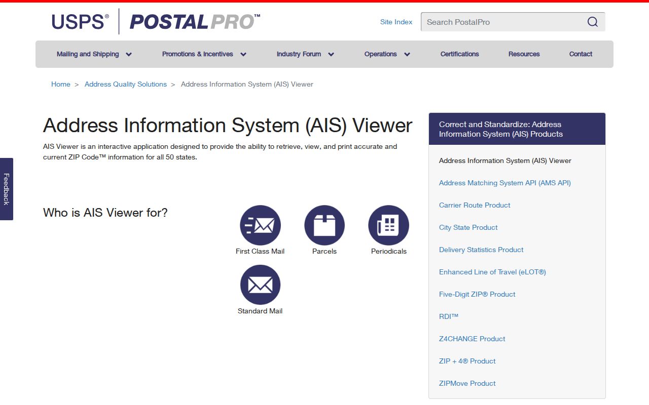
The captured viewer shows the official address-system source, while the live USPS address lookup remains the tool for validating one delivery address.
Find St. Clair Residents by ZIP
A ZIP is most useful as a narrowing field. Start with a lawful personal purpose and one known name, town, or address. Official tools vary: some state databases accept city and ZIP, while the county assessor and recorder do not expose a ZIP filter.
- Validate the full address or city-and-state combination in USPS.
- Check whether the code appears in the St. Clair coverage leads and mark any overlap warning.
- Confirm the parcel's county and situs in DEVNET or the county GIS.
- Use a ZIP-capable state search only for the record type it actually covers.
- Record the search date, returned city, ZIP, county proof, and source labels.
This method avoids a common error: treating a professional, notary, business, or unclaimed-property mailing address as current residence. Such tools can place an official record within a ZIP, but each record has a narrow purpose and may be old.
St. Clair Portals and ZIP Fields
The St. Clair DEVNET property portal has no visible ZIP field in Basic, Address, Advanced, or Mobile Home search. Address Search uses low and high house number, street name, and city. Basic Search uses an owner name or 11-digit parcel number. ZIP data can appear on a parcel's situs or mailing line after the record is found.
| Official source | ZIP input | What it can establish |
|---|---|---|
| USPS Lookup | Yes | Current delivery geography |
| DEVNET | No search filter | Parcel, situs, tax owner, displayed mailing ZIP |
| County GIS | Not confirmed | Parcel and mapped county context |
| Recorder AVA | Not exposed | Indexed deed parties and documents |
| Illinois I-CASH | Yes | Unclaimed-property lead, not residence |
| State license or notary tools | May accept ZIP | Official role or address, not occupancy |
The Census Gazetteer files add statistical geography. The successful manifest image shows that official file source.
The Census Gazetteer files provide the source behind this St. Clair County ZIP code directory reference.
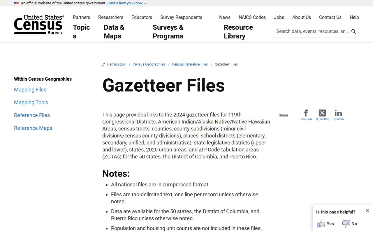
The capture belongs with statistical mapping only. USPS remains the authority for live delivery validation.
Scott AFB Postal Geography
ZIP 62225 is the separate military and postal lead for Scott Air Force Base. St. Clair County identifies the base as a major regional institution, but its ZIP does not collapse military mailing, parcel ownership, and a resident's hometown into one fact. Validate the exact address and label the source.
This is a clear example of why a ZIP code directory must stay at postal scale. A base-related mailing address may be valid while a county parcel result has different ownership or jurisdiction detail. Do not infer private household facts from the institution's code. For historical military research, use records made for that purpose and preserve the period address as printed.
The same caution applies to rural routes and PO-box-style leads. They can route mail without defining an occupied parcel. A person may also receive mail at a place different from a tax situs or home.
St. Clair Before ZIP Codes
Historic St. Clair County directories predate ZIP Codes. The 1891-92 county gazetteer and farmers or landowners appendix use towns and post offices, sometimes with acreage. Search those printed fields as they appear. Adding a modern code to an old entry creates a link the source never made.
Township changes add another layer. St. Clair Township formed from Belleville in 1885, and Canteen and Centreville split in 1910. A 1909 and 1912 record may therefore carry different administrative labels even when the land did not move. Compare directory street pages, atlases, plats, legal descriptions, and municipal records.
No official St. Clair-specific ZIP realignment timeline was found. Do not invent one. When a modern address seems to have changed codes, retain the date of each USPS or parcel result and look for a dated postal or municipal source.
Build a Dated ZIP Record
A reliable St. Clair County ZIP code directory note has four parts: the USPS result, county proof, any Census ZCTA reference, and the date checked. These layers answer different questions. USPS confirms delivery; DEVNET or GIS confirms St. Clair placement; Census supplies statistical geography.
The county-seat sample shows why this works. DEVNET displays the public building at 10 Public Square with Belleville 62220, a parcel number, legal description, township, and tax-year context. It still does not identify a resident. Keep terms precise: tax owner, situs address, mailing address, postal city, and ZIP.
Use ZIP findings for family history, reconnecting, estate research, civic questions, or scam checks without publishing bulk private-name lists. Public records may contain errors. Verify a consequential fact with the custodian that holds the underlying record.