
St. Clair County Neighbor Sources
The immediate block appears through several official layers. St. Clair County GIS supplies parcel geometry, address points, streets, precincts, townships, and district boundaries. DEVNET adds the assessed owner, situs address, mailing address, tax year, PIN, and legal description. Recorder records can confirm a conveyance party. Each source proves a different relationship.
| Source | What It Shows About a Block | Access |
|---|---|---|
| County GIS | Parcel shapes, address and street context | Free map viewer |
| DEVNET wEdge | Tax owner, situs, mailing address, PIN, tax year | Free portal |
| Recorder index | Grantor, grantee, instrument, and legal description | Online plans or courthouse |
| Historic directories | Dated residents around nearby street numbers | Library and digital copies |
| Municipal records | Named civic groups, districts, and public proceedings | Clerk, minutes, or FOIA |
An owner may live elsewhere, and a mailing address may belong to a tax agent or trust. Renters and household members generally do not appear on the property card. Describe an owner as the assessed owner for the shown tax year, never as an occupant unless a separate dated source supports that claim.
Pick the St. Clair Parcel
Begin in the DEVNET property search. Its Address Search accepts a low and high house number, street name, and city. It has no visible ZIP filter. Confirm the result in Basic Search by its 11-digit parcel number or owner name, then save the situs, legal description, township, tax year, and data-refresh date.
The St. Clair County Assessor page shown below is the official office route for neighbor-related property questions.
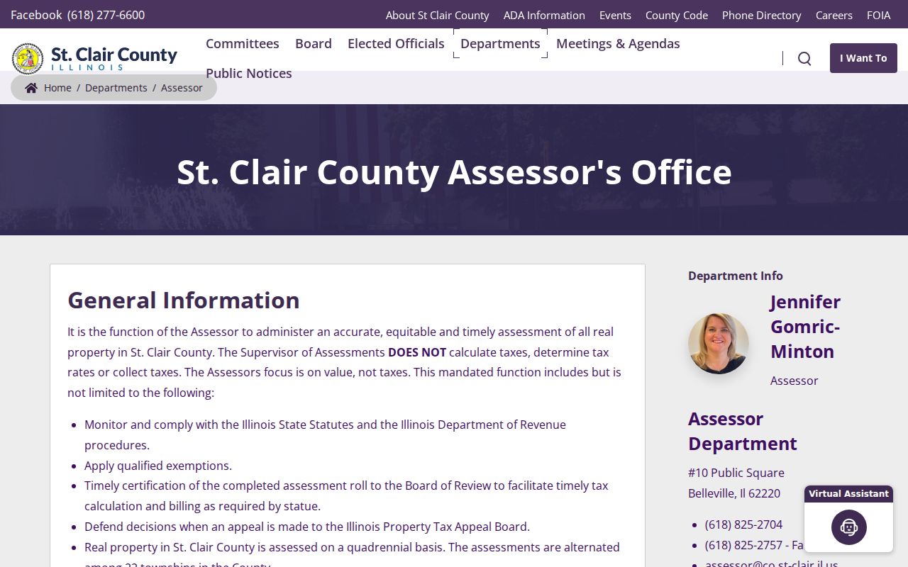
The office page grounds the search in county assessment records, not an unsupported household claim.
- PIN
- The parcel identification number assigned to a tax parcel.
- Situs
- The physical location shown on the property record.
- Legal description
- The lot, block, plat, or land wording that identifies the parcel.
- Mailing address
- The address used for the tax bill, which may differ from the situs.
Map St. Clair County Neighbors
Use the county Parcel Map Viewer after the target PIN is known. Turn on parcel, address-point, and street layers when available. Exact viewer controls were not exposed in the research capture, so rely on the visible parcel geometry rather than assuming a named buffer tool.
- Locate the target address in DEVNET and record its PIN.
- Open that parcel in GIS and identify every polygon that shares a boundary.
- Account for roads, alleys, water, rail, public land, and split parcels before calling two lots adjacent.
- Return each neighboring PIN to DEVNET and record the owner, situs, mailing distinction, and tax year.
- Use a Recorder deed only when ownership needs a second official check.
The result is a sourced parcel inventory, not a list of everyone on the block. A full named-street chain belongs on the St. Clair County street directory.
Confirm Nearby St. Clair Owners
The St. Clair County Recorder of Deeds confirms legal conveyance roles. Search the grantor and grantee index with a name, date, PIN, or legal description when available. An indexed deed party is not automatically a current occupant, so match the legal description to the parcel before drawing a conclusion.
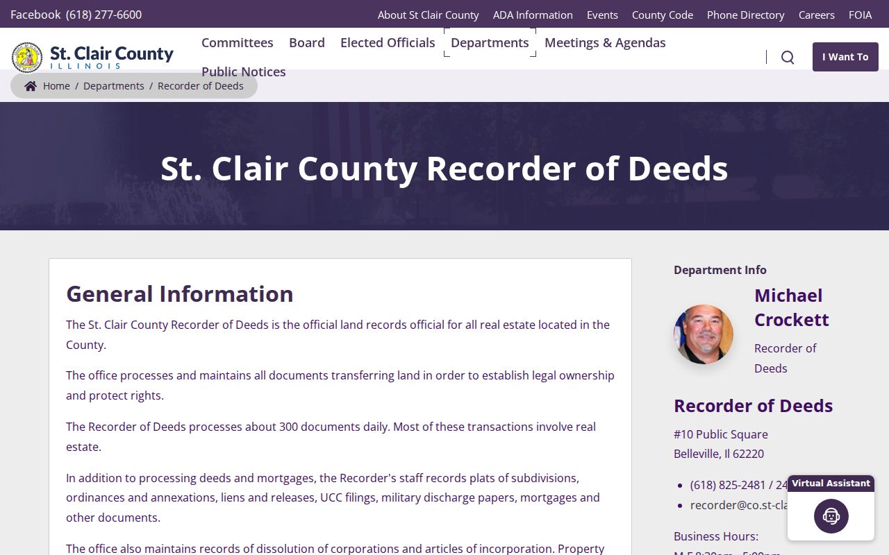
The Recorder page points to the custodian that can supply index details and recorded copies.
Remote access is split among AVA, Tapestry, and Laredo, while seven public workstations are available at the courthouse. The Recorder remote-access page explains those channels.
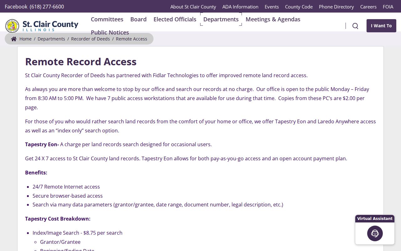
When an image is not available online, use a courthouse terminal or request a copy by its document reference.
St. Clair Districts Are Not Neighborhoods
DEVNET offers 22 township filters, and county GIS includes precinct and district layers. Tax records can list school, fire, library, park, sanitary, road, village, emergency, levee, water, special-service, and TIF bodies. That combination helps place a parcel when its postal city is vague.
These boundaries describe government service and taxation. They do not prove social ties, association membership, or a commonly used neighborhood name. East St. Louis also has a separate election authority, which shows why a mailing city, municipality, election jurisdiction, township, and tax district must not be treated as the same place.
District combinations can still solve a location puzzle. A parcel tied to one fire district, library district, school district, and township can be distinguished from a like street address elsewhere in the county. Record each label exactly as DEVNET shows it. Then check the GIS boundary instead of assuming that the postal community sets every jurisdiction. This cross-check is useful in unincorporated areas and near municipal edges.
Finding St. Clair Civic Groups
No official countywide directory of current neighborhood associations was found. Once the municipality is known, check its clerk, council agendas, minutes, public notices, and historic-district pages for a named civic body. A precise request for an existing roster or filing may be made to the responsible municipal office when disclosure rules allow.
The county public-notices page provides a current government starting point.
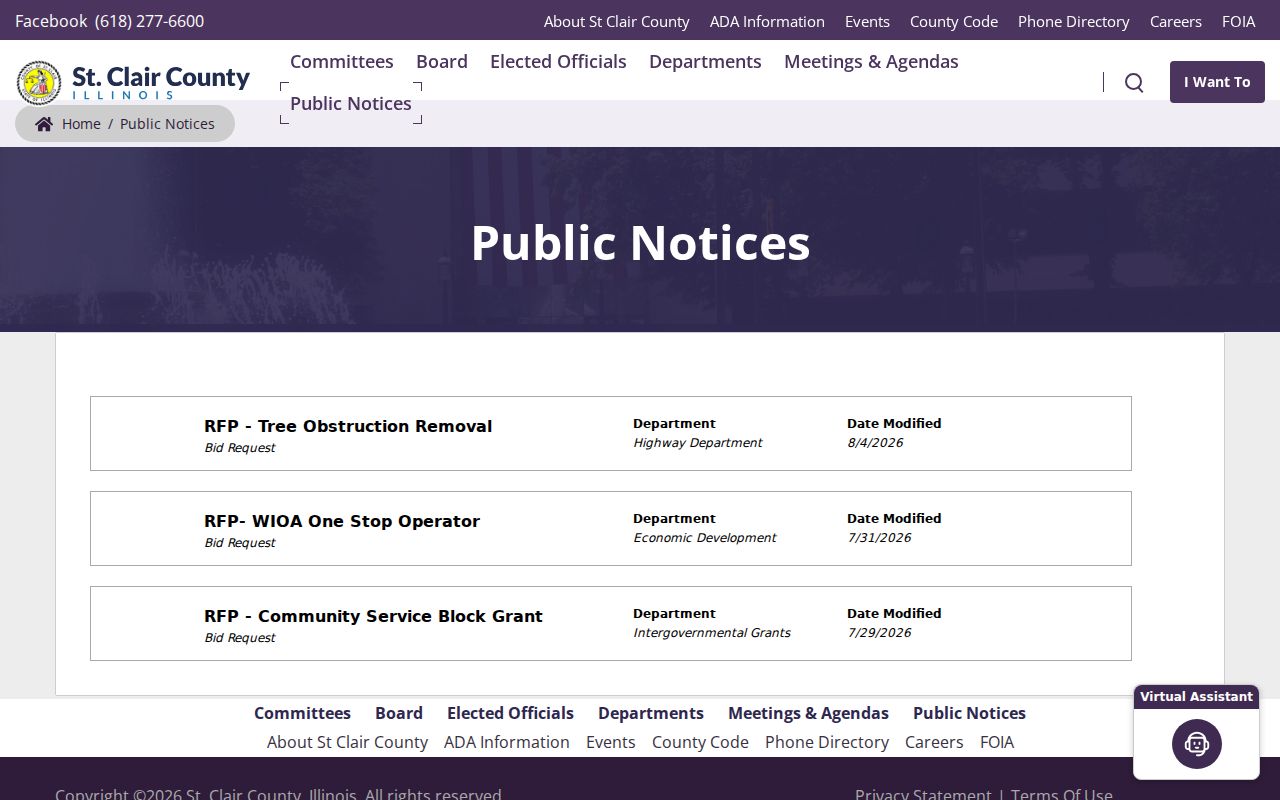
Notices can identify a district or public proceeding, but they should not be read as a membership list.
The county's community overview gives broad municipal context.
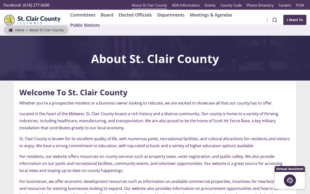
Use that overview to identify the right local government before seeking a specific civic record.
Local libraries, the St. Clair County Historical Society, and the county genealogical society add context for older blocks. Their directories, newspapers, atlases, church material, and cemetery indexes can connect a dated person to a place. Ask for one name, street, and year range. Staff can point to a specific volume without implying that a historical list remains current.
Read Historic St. Clair Blocks
Belleville directory runs from 1891–92, 1925, and 1935 include street pages that can show dated residents around nearby house numbers. Historical society atlases from 1874, 1901, 1936, and 1956 add mapped context, while IRAD plat and town-plat indexes bridge older legal descriptions.
Administrative labels also changed. St. Clair Township formed from Belleville in 1885, and Canteen and Centreville split in 1910. Match cross streets, lot and block descriptions, nearby names, and issue years rather than forcing an old entry into a modern address. A printed directory entry is evidence of a dated address association, not title.
Compare more than one directory year. A person who disappears may have moved, died, changed a listed name, or been omitted. The 1884 digitized directory has known missing pages, so a no-result is less certain. Where street numbers do not line up, use a plat, atlas, ordinance, council minute, or legal description. No official countywide renumbering event was found, so one conversion rule should not be applied across St. Clair County.
Official St. Clair Block Records
Official and commercial neighbor tools answer different questions. County sources disclose their keeper, date, and legal relationship. Commercial compilations may merge old addresses and names without showing how a match was made.
| Source Type | Strength | Limit |
|---|---|---|
| GIS and assessor | Parcel geometry and dated assessed owner | Does not identify every occupant |
| Recorder | Recorded conveyance and legal description | A deed party may live elsewhere |
| Municipal or archival | Named public body or dated historical entry | Coverage varies by place and year |
| Commercial compilation | Broad convenience | Source date and identity links may be unclear |
Prefer records that state what a person or parcel represents. If two sources conflict, report the dates and relationships instead of choosing the result that looks most current.
A sound block note states that a parcel was adjacent in GIS on the access date and that DEVNET named an assessed owner for a stated tax year. If a Recorder legal description matches, add that as a separate conveyance fact. The wording remains useful when ownership changes and avoids claiming that every named party lived at the address.
St. Clair Deed Alert Protection
The Recorder maintains a property-fraud alert route, including a third-party registration form updated in 2025 for qualified professionals helping clients. It concerns notices tied to recorded names; it does not block a deed or prove fraud.
The county deed-scam page shows the local warning and response channel.
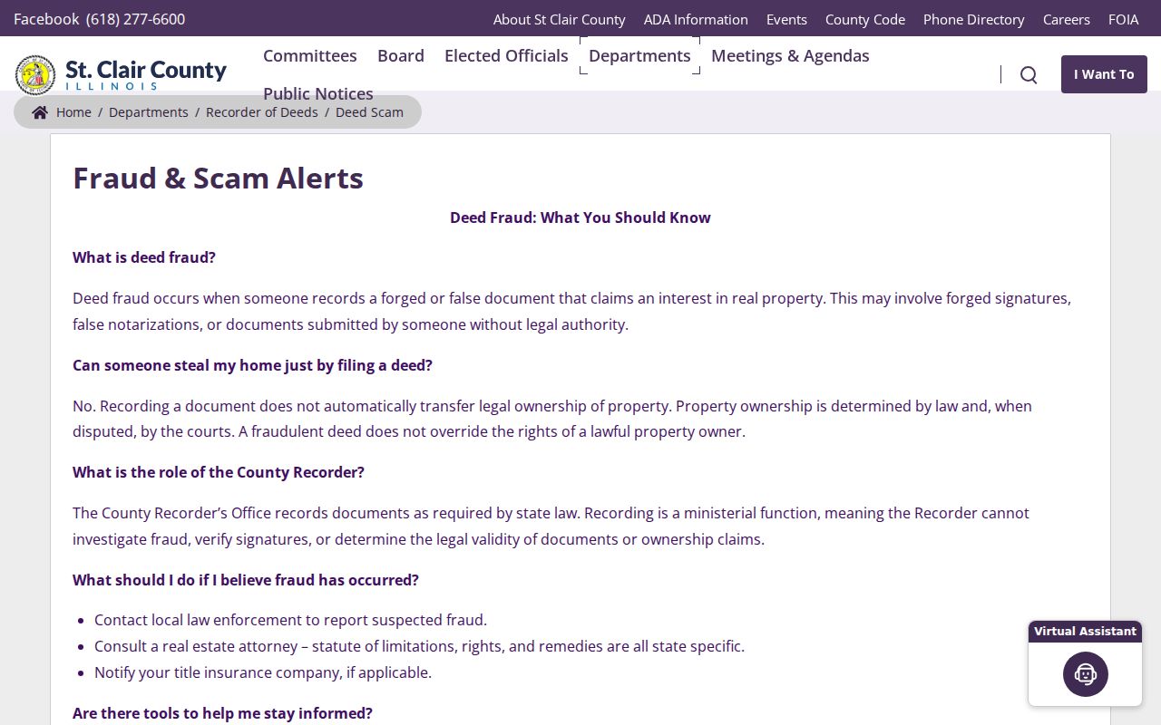
For an unexpected filing, preserve its document reference and contact the Recorder through the official county route.
St. Clair Neighbor Lookup Limits
Property and deed records are public in defined ways, but they are not a current occupancy list. Voter access has Election Code restrictions, and protected addresses may be redacted through the Illinois Address Confidentiality Program. Utility, delivery, and private membership data are not substitute public sources.
Publish the method, source date, parcel relationship, and limits. Avoid bulk lists of private names and addresses. If a public record is wrong, ask its custodian to correct it. A county FOIA request can seek an existing administrative record, but it cannot bypass statutory privacy rules.
Lawful use. Research St. Clair County neighbors for civic knowledge and personal safety. Never use block records to watch, harass, intimidate, or harm a person.