
St. Clair Previous Resident Sources
Different eras call for different records. Begin with the modern parcel when the building still exists, then move from land evidence to household evidence. Recorder indexes track ownership interests. Printed directories place a named resident at a stated address in a publication year. Census, obituary, cemetery, and probate sources can confirm the people and events behind that listing.
| Source | Years It Covers | Where Held | What It Shows |
|---|---|---|---|
| DEVNET parcel card | Current and prior tax years shown | County Assessor | PIN, legal description, owner, situs, mailing address, sales and tax context |
| Recorder deed index | Modern images mostly January 1986 forward | AVA, paid services, and courthouse | Grantor, grantee, date, document reference, land description |
| IRAD deed and plat indexes | Deeds 1786-1927; plats 1817-1907 | Illinois Regional Archives Depository | Older references into deed books, plats, and archive requests |
| Digitized directories | Selected runs from 1860 through 1935 | Belleville Public Library | Dated residents, street pages, occupations, employers, county towns |
| Newspapers and obituaries | Collections vary; local files reach into the 1800s | Belleville Public Library | Deaths, moves, family ties, notices, and address events |
For a recent address, start with DEVNET and the Recorder. For the period before online images, use document references, public terminals, copy requests, and archive indexes. For previous residents rather than owners, compare directories and census records around each transfer date.
Start With a St. Clair PIN
Use the St. Clair County DEVNET portal to find the current parcel. Record its 11-digit PIN, situs address, legal description, township, property class, tax year, and current assessment owner. Situs means the physical parcel location. The mailing address is where tax correspondence goes and can be elsewhere.
The PIN and legal description are more stable than a street string. They help distinguish two parcels with close addresses and can reveal a lot or block after a road name changes. Still, the assessment owner may be a trust, estate, company, or public body. The card does not supply a guaranteed occupant field.
Reverse the St. Clair Deed Chain
Once the parcel is fixed, search the Recorder's free AVA index. AVA accepts party name, recorded dates, parcel number, document number, and document type, but it is index-only. Tapestry EON provides a paid image route, while Laredo serves account users. Seven Recorder workstations offer free index access in person.
- Find the present assessment owner and exact legal description in DEVNET.
- Locate that owner's acquisition deed. Save the grantor, grantee, date, document number or book/page, and land description.
- Search the seller as an earlier grantee. Confirm the same parcel or legal description before adding the transfer.
- Repeat backward, labeling every entry as an owner or deed party rather than a resident.
- When online images end, carry the references to the courthouse, Recorder copy service, IRAD, or another local archive.
- Grantor and grantee
- The grantor conveys an interest; the grantee receives it.
- Chain of title
- The linked sequence of recorded transfers for the same land.
- Legal description
- The lot, block, plat, or boundary wording that identifies land apart from its street address.
Deeds can show ownership changes, easements, mortgages, liens, releases, and plats. They do not prove that a grantee moved into the building.
Bridge St. Clair's Deed Gaps
Most Recorder documents from January 1986 forward are available through online vendor routes. The older archive picture is broader but less direct. IRAD lists a St. Clair County deed index for 1786-1927, a plat index for 1817-1907, and a town-plat index for 1818-1873. These references can lead to an older book, page, box, or image request.
The gap between the older deed index and modern web images requires a fallback chain. Try courthouse terminals, Recorder archive and copy channels, historical society atlases, plats, and focused records requests. Do not fill a missing transfer with a guess. A sound previous residents timeline marks the gap and resumes only when the same land description is confirmed.
St. Clair House History Library
The St. Clair County Historical Society research library is a strong stop for atlases, local history, and property context that sits outside a modern parcel site.
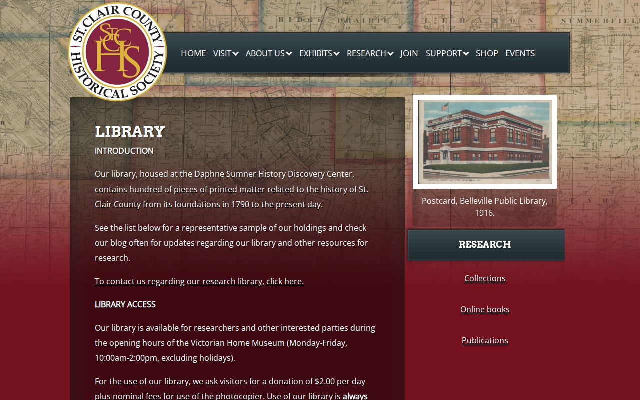
Its mapped and local collections can help match an old lot, road, farm, or township label to the modern parcel. Historical atlases are documented for 1874, 1901, 1936, and 1956.
Belleville Public Library adds directories, newspapers, cemetery material, census tools, maps, and local histories. Staff will perform a specific indexed name or record search for $2.50. Requests may be made online, in person, by email, by mail, or by phone. Supply a name, spelling, year, town, publication, and record type rather than asking for broad research.
Pair St. Clair Directory Years
Selected Belleville Public Library PDFs span 1860 through 1935, with runs in 1868-69, 1877, 1884, 1891-92, 1894-95, 1896-97, 1904-05, 1906-07, 1908-09, 1912, 1925, and 1935. Several include East St. Louis, county towns, farmers or landowners, and street pages. That range can place past residents between census years.
- Search a directory closest to the deed transfer or census year. Try spelling variants and the abbreviation key.
- Read both the alphabetical entry and street page when available. Record whether the issue says res, home, or bds.
- Compare the household with the nearest available census schedule and note facts only as the source reports them.
- Check the next directory year to see whether the name or address changed. Treat a missing listing as unknown, not proof of absence.
The 1884 digital issue has known missing pages. Older print can also have spelling and scan errors. Collection detail belongs on the St. Clair County city directory page, while this workflow uses the issues to build one address timeline.
Track St. Clair Township Changes
A modern postal city may not match the historic record label. St. Clair Township formed from Belleville in 1885. East St. Louis and Brooklyn or Stites were reorganized in 1888. Canteen and Centreville split in 1910. A person can therefore appear under an older township or post office even when the land maps cleanly to a current parcel.
The 1891-92 directory is especially useful because it joins Belleville and East St. Louis residents with county towns, a street directory, a county gazetteer, and a farmers or landowners appendix. Preserve the printed post office or township. Add the modern place name as a separate note.
Date St. Clair Property Changes
Building and zoning files may identify an address, owner, applicant, lessee, agent, plans, and inspections. County jurisdiction covers the unincorporated area, while a municipality keeps its own files. No current countywide public permit-name search was located, so contact the correct custodian after confirming the municipality in GIS.
The Recorder's copy request instructions explain how to obtain a document after the index supplies its number or book and page.
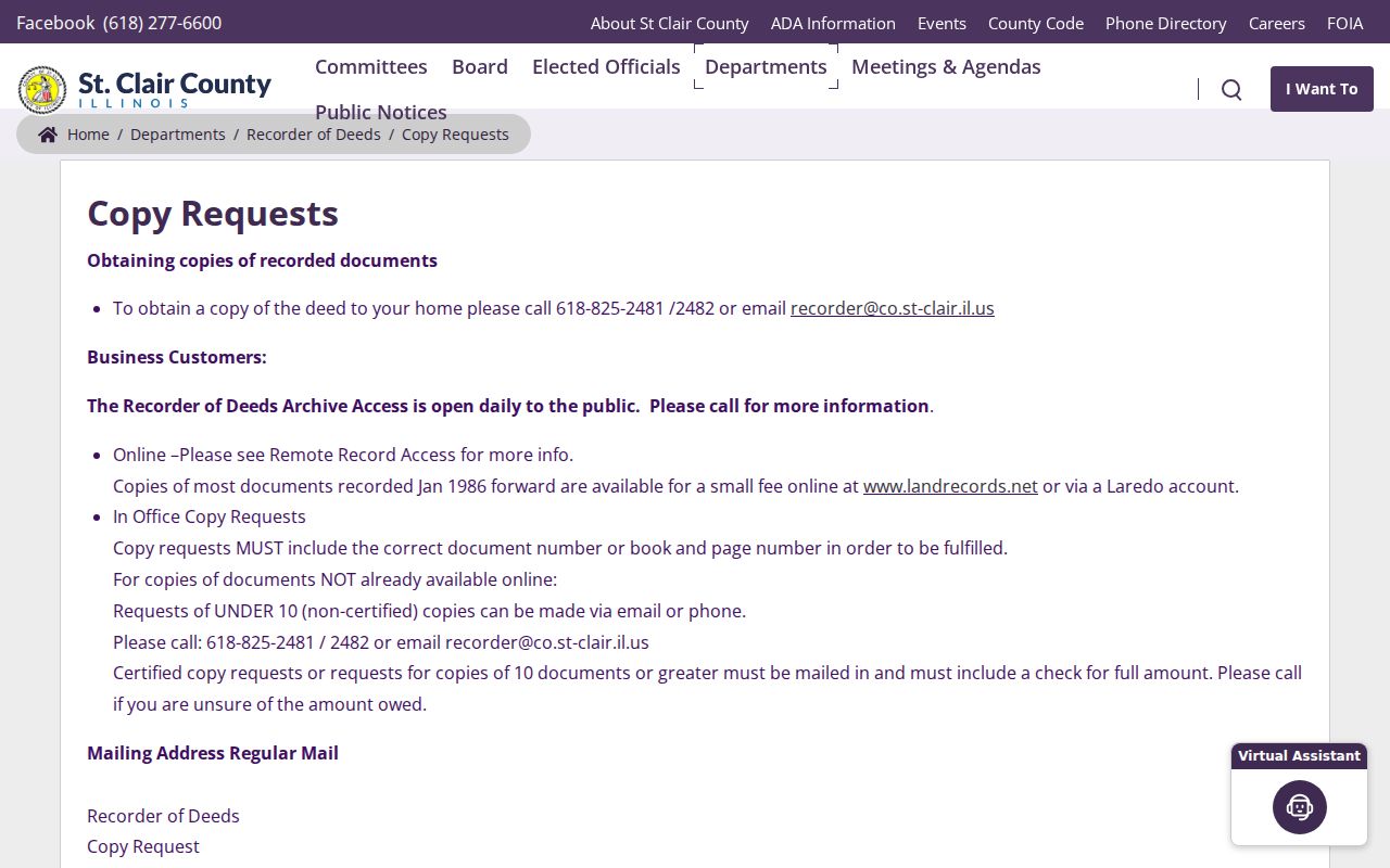
Small non-certified requests not online may use phone or email. Certified copies and larger requests require the Recorder's mail and payment process, making accurate document references essential.
Confirm St. Clair Resident Events
Newspapers, obituaries, cemetery records, court files, and probate can explain why a household changes between two directory years. Belleville Public Library provides the Belleville News-Democrat historical collection, older Advocate newspapers, HeritageHub obituaries and death notices, and Walnut Hill burial links. IRAD also lists historical court and coroner indexes.
Use these sources as event evidence. An obituary may name relatives or a former address, while probate may identify an estate and heirs. Walnut Hill's older fields can be detailed, but the records carry handwriting and error warnings, and its earliest book has a known gap. Keep sensitive facts tied to the source and lawful family or house-history purpose.
Label St. Clair Past Households
A finished chain should distinguish four claims: the assessment owner for a tax year, a deed party on a recorded date, a printed resident in a directory issue, and a life event found in a newspaper, cemetery, court, or vital source. One person may fill several roles, but the records must prove each link.
Confidence labels make previous residents research useful. Mark a direct address listing as strong residence evidence for that issue date. Mark an owner with no directory match as ownership only. Keep uncertain spellings, missing pages, changed townships, and the image gap visible. An honest break is better than an invented house history.
Save the document number, book and page, directory year, and date checked. Those citations let another researcher repeat the St. Clair County search without relying on a bare name.
Lawful use. Research St. Clair County previous residents for house history, genealogy, and lawful personal questions. Never use findings to harass, track, or harm a living person.